Wetterhorn Peak
South East Ridge; 6.5 miles, 3,300' elevation gain
Start: 5:00 AM Return 10:00 AM
Wetterhorn Peak is a striking crag from just about any angle. It has one of the steepest summit slopes of any 14er in Colorado, dropping off sharply on all sides. It's easily recognizable from far away. On any given Saturday (in the summer), a big and diverse group attempts to summit this awe-inspiring peak. It's nearby neighbor Uncompahgre is higher, bigger, and more recognizable. Wetterhorn's climbing is much more interesting though.
We had a very diverse group for Wetterhorn. We had Rob, a "seasoned citizen", 14er finisher, and multi-year Ironman Hawaii finisher. Myself and Scott, who have climbed 30+ 14ers together. We also had Jason and Sarah, two energetic and creative people who just ran the Garden of the Gods 10-mile run (and did quite well!) and like to take photos.
The first group of photos was taken in the early afternoon on the previous day with my Nikon D5100 equipped with a cheap Tiffen Polarizing filter. I also ran all photos (except Sarah's) through Adobe Lightroom 4.1.
 |
| I believe this is Red Mountain #1 and Red Mountain #2 |
 |
| Trico Peak and 13,400 something |
 |
| Sweet waterfall off the road. |
 |
| On the Alpine loop between Silverton and Engineer Pass |
 |
| Darley Mountain. That road is no longer passable due to erosion, but would make an adequate hiking trail. I'd rather just do the ridge proper. |
 |
| Super Panorama- 5 shots. Darley Mountain and Engineer Mountain |
 |
| Wetterhorn, Matterhorn, Uncompahgre (L to R) from Engineer Pass |
 |
| 3-shot panorama from Engineer Pass- gives you an idea of the advantages of a panorama |
 |
| Just above Matterhorn Creek Road there is this lovely waterfall. I want to hike over to it sometime. |
 |
| Stunning aspen trees line the scenic route up Matterhorn Creek road. It's a short, pleasant drive. |
 |
| Strong alpenglow lights up the monolithic summit, while a quilt of rocks and grass cradle the base |
 |
| The contrasting colors lift my spirits and beckon me onward- Photo by SZL |
 |
| Rob, Jason, Random Guy, Sarah |
At this point Jason turned back as he was not feeling well- but encouraged the rest of us to continue.
 |
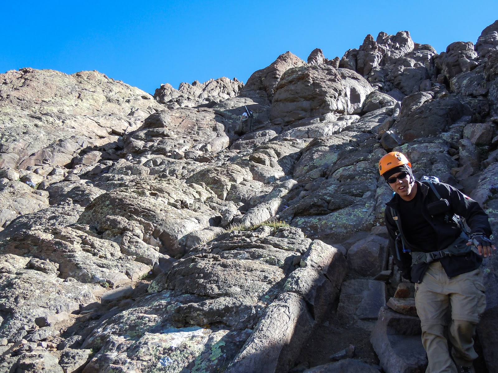
| Looking up near the ridge. We got a little "off route" here and should be slightly further left. |
 |
| Some guy we met handling a class-4 ascent like a boss. This is not the standard way up. |
 |
| Fun and easy classic class 3 scrambling- Photo by SZL |
 |
| Good, easy rock coming up to the prow- Photo by SZL |
 |
| This is the smaller but correct notch needed to reach the summit. |
 |
| I stood on the edge of the sidewalk in the hopes that it would make people feel a little safer coming down. The exposure to my right is actually not that bad, but it can't be seen climbing down, thus anxiety. (Photo by SZL) |
 |
| Following Sarah up the Class 3 (Photo by SZL) |
 |
| At the start of the ledge, Sarah takes in the view, which is excellent. |
At this point I feel compelled to mention something. This was Sarah's first class 3 climb and first 4/6 exposure 14er. She was a little nervous but she faced her anxieties and pushed ahead. It was fun to be a part of it.
 |
| This part is actually easier than it looks and it quite thrilling. |
 |
| Final Pitch! Chaos Penumbra and AeroFaze |
 |
| Scott, Rob, (me), Sarah on the summit! I apparently am a freak. (Photo by Sarah Nguyen) |
 |
| Coxcomb and other interesting rock features looking N. One of my favorite views from a 14er. |
 |
| 4-shot panorama from Wetterhorn summit looking South |
 |
| Fashion show on the summit |
 |
| Downclimbing the class 3 section. Rockstar Fashion |
Side note- downclimbing the final pitch wasn't bad, except I didn't particularly like the very first couple of moves. It's a little awkward to reorient yourself from a horizontal plane to a more-vertical plane.
When we reached the prow, Scott realized his camera was on the summit, so he took off for the top again. We played around on the Prow and took dumb photos. It's an easy class 3 climb with some exposure to get to the top. Just take the "wrong notch", turn left, and climb up. Easy.
 |
| Coming down. This shows the start of the fun part. |
This part reminded us of why we wear helmets. Right before this picture, a salad-plate sized rock about 3/4" thick came spinning down the mountain at high speed. Scott leaned into the mountain as the rock bounced off his backpack right behind his helmet. No harm done, but still a reminder.
I am going to include some great wildflower photos from Sarah Nguyen, used with her permission. Flower IDs are her best guesses. Note- this valley is a great spot for wildflowers, although this year was very dissapointing compared to normal conditions. None-the-less, there were still plenty of flowers around. Around 12,500', the trail is studded with bursts of columbines.
 |
| Old Man of the Mountain/Alpine Sunflower - Photo by Sarah Nguyen |
 |
| Pink Painbrush with Wetterhorn and the prow in the background |
 |
| Skypilot and Avens facing Uncompahgre Peak- Photo by Sarah Nguyen |
 |
| Alpine Wallflowers (maybe?)- Photo by Sarah Nguyen |
 |
| Mountain Bluebells- Photo by Sarah Nguyen |
 |
| Bittercress near the stream- Photo by Sarah Nguyen |
Of our 6 origional group, all 6 made it to 13,200', and 4 of us reached the summit.
Should you go do Wetterhorn? YES. After wetterhorn we went into Lake City and ordered a huge Pizza from
Poker Alice. It was very delicious and money well spent, we thought.