Saturday, July 18, 2015

Humboldt Peak Redux


Humboldt Peak via West Ridge (standard route)

Date: 6/21/2015

~12 miles RT, 4,200' of elevation gain


Humboldt Peak is one of my favorite "easy" 14er hikes, but it isn't that easy. You have to hike over 4 miles to reach the steep section that starts heading up to the summit. Having done this one before, I knew exactly how long it took me last time, and I hoped to beat that time by a couple minutes.

I did make a mistake this time. I didn't quite adapt my load to conditions. I had originally thought that it was going to be cold, so I had 2 jackets, gloves, hat, and pants in my backpack. I had packed 2.5 liters of water. It turns out that I didn't use any jackets or pants at all.

Anyway. It was HOT- one of the hottest 14ers I have done ever. I brought 2.5 liters and it simply was not enough. I ran out of water on the way down with about 3 miles to go.  Lesson learned? I wasn't paying full attention to the conditions and predicted weather, and the unusually hot weather really "bit" me.  Luckily Chris is a stud and he bailed me out with about 10 oz of water, which was plenty enough to keep me going. Anyways, pics...

Looking ahead up the trail.

Looking back down the 4x4 road

About 2 miles up the road you come to the start of the "trail" where it leaves the old 4x4 road.

Looking NW, that is broken hand pass in the middle, Crestone Needle to the right

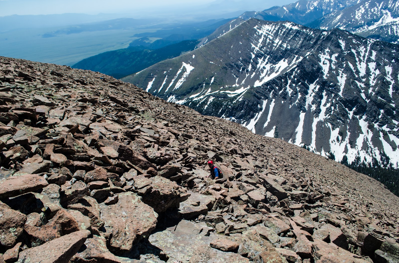
This is the west face of Humboldt Peak
Snow is melting rapidly


Finally up to South Colony Lakes, here is a nice place to relax- for a couple seconds anyway.
And here we are at the upper lake, with Crestone Peak starting to show (R)


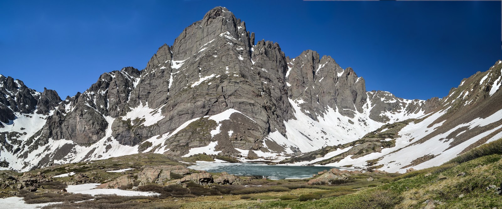
Getting higher up to the saddle, we have an excellent view of Crestone Peak on the R, Needle on the L.

From the saddle, we see Colony Baldy Peak

This ridge goes up 1,200' to the summit of Humboldt Peak
Getting higher up...

Chris is high up on the ridge above 14,000'

Right before Chris hits the summit

Summit!
Kit Carson and Challenger Point center left, Mt. Adams right.

Summit Pano with the Blanca group in the distance


Distant Right is the Blanca Group, distant left is the Spanish Peaks

Kit Carson Peak is to the left, Colony Baldy on the right.

A beautiful day in Colorado
This is a 4-shot pano I had to do extensive Photoshop on.. it was worth it.
Just another beautiful, HOT day in the mountains. It was one of the hottest 14ers I've ever done. Thanks to my hiking partner Chris Sumey for putting up with my rambling and bailing me out with water. It was a great day in the mountains.

Thursday, June 18, 2015

San Francisco Nov. 2013

Right before Alex turned 2 I took him to San Francisco. Mainly, the flight was free for him and I wanted him to see his Granddad.
More photos are coming, these are the camera pics but I also have some decent phone pix.


Alcatraz Island


We worked our way over the the Golden Gate Bridge.


Alex really liked this area


He didn't want to pose, this is the best we could do


All this cool stuff and what he wants to do is push the stroller around

Looking west from the fort


Thursday, February 5, 2015

Snowshoeing in RMNP- Loch Vale

Snowshoeing in RMNP

Loch Vale and Mills Lake, from Glacier Gorge parking lot
7 miles RT, ~1,000' of elevation gain
24 January 2015

I wanted to take Scott and Kerry snowshoeing this winter, so we made it happen. I have been to this area before and it had great views, so I wanted to go again, taking them with me.

Our chosen day had some challenging weather. It was just below freezing, but the winds were whipping fiercly and it was overcast. The parking lot was nearly full just before 10 AM, and the initial weather was not encouraging. I later joked that the crux of the route was clearing the parking lot.
The trees helped up survive the wind

Looky cheery after the frozen start


This drainage is normally not accessible during the summertime, but it forms the winter trail

Heading up the drainage


The classic view


3-shot panorama

It was very windy

When I saw the lighting change, I had to stop and whip out my camera to get this shot

We only stayed at the Loch for about 5 minutes because of how cold and windy it was. We headed down. When we got back to the trees, it became much more bearable. We went down the drainage and turned off for the Mills Lake trail. It's only about 1/2 mile to Mills Lake from the turnoff. It's not that far uphill either.

The wind was really whipping


I love the log jam frozen in time


Mills Lake

Long's Peak, Keyboard of the winds, and Pagoda Mountain

More wind! It was so strong it was hard to make forward progress

Scott and Kerry

Time to head back to the car
The journey back down went as fast as we could manage. We didn't even really stop for a break, we just plugged away. Being hungry and cold kind of does that to you.

We stopped at Ed's Cantina in Estes Park and stuffed ourselves with Tex mex food. Then we drove to Left Hand Brewery in Longmont and sampled some beers. It was a good day.