Showing posts with label Colorado. Show all posts

Sunday, February 26, 2017

Big Adventure 2016 - Part 2

Big Adventure 2016 - Part 2
State Forest State Park
Clark Peak 12,951'

Clark Peak is the highest mountain in the Medicine Bow Range- a range that stretches nearly 100 miles from Colorado into Wyoming. There is no higher mountain in Colorado this far north. Not to be confused with the other, higher Clark Peak in the Elk Mountains, Clark Peak is also the high point of Jackson County.

We drove into State Forest State Park and navigated a series of paved and dirt roads. As soon as the dirt road turned to "4WD only" it got pretty rough, and we camped for the night.

The initial road hiking was pretty easy. That's Clark Peak straight ahead.

A tumbling stream soon after the start of the trail

Coming into the upper basin


In the upper basin


Jewel Lake. As far as glassy-smooth alpine lakes go, it was kind of plain


Looking back, Southwest, from the lake area

Scott and Kerry enjoying the lake view


And soon afterwards we began climbing to the summit sans trail

About halfway up the slope above Jewel Lake

It was very windy and cold at the summit.

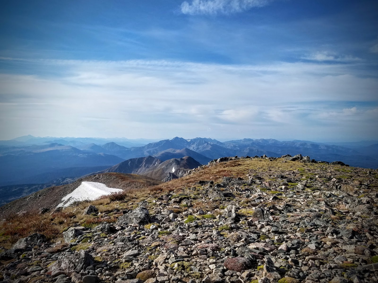
Looking South. Way way in the background to the left appears to be Longs Peak.

Looking down into the expansive North Park area. It was surreal looking at this park some 7,000 feet above them.

Looking North we spied this picturesque area. That is South Rawah Peak and North Rawah Peak

We descended as quickly as we were able to, eager to pack up and leave. It took us 2.5 hours to ascend and 1.5 hours to get all the way down. We were ready to face the long drive home with a stop for some refreshments.

Here's the basic route from just after the 2WD trailhead

Basic stats: 6.7 miles RT (possibly more)*
                   3100' elevation gain/ loss

A great beer at Funkwerks

Another great beer from Funkwerks
Overall this was a great trip, but it was a lot of driving. Luckily we had a great vehicle to take us all over the north part of the state. From State Forest State Park we went up over Cameron Pass and down the long, winding Poudre Canyon to Fort Collins. We knocked out 2 northern county high points, getting us just a little closer to our goal.

Wednesday, February 22, 2017

Big Adventure 2016- Part 1

Big Adventure 2016 - Part 1
Mt. Zirkel Wilderness- Mt. Zirkel Summit 12,185'
"Zirkel Circle" (modified)

8/21/2016

This trip was a long time in the making. We had wanted to come here the previous year, but things didn't work out and we had to cancel. We finally were able to make the drive up to North central Colorado to make this trip happen.

This was a long day. We were originally going to backpack in, but that didn't work with our schedule. We started off in the dark around 5 AM.

Looks nice, but what is that thing?

Yep, it's a bear
So about 3 miles into our hike, we ran across this bear. I instantly became super cautious and aware of my surroundings. I didn't want to run into some bear cubs and an angry mama bear.

It was quite lush and green. For Colorado, anyway

Target acquired (it's distant right)

We have come a long way through a marsh and up a heavily treed slope, when we reached this open area.

Big Agnes is over there somewhere


Up on the ridge now, but the journey is far from over. We came up to the right, but we'd end up going down to the left on our way down. You can see why it took so long to return.

Slope not exaggerated

This section wasn't exactly tricky, but we were getting tired by this point
We reached the saddle

Bighorn sheep! (crappy phone zoom)

The final stretch. Not that spicy.

Looking over to Big Agnes (West)
Looking North toward Wyoming

Scott and Kerry

Steep cliffs on the west face

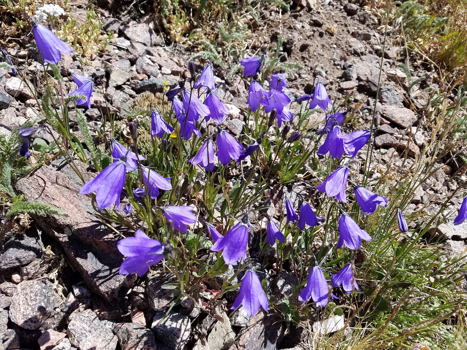
Late in the season, but still some wildflowers

At this point we made a decision to hike the loop instead of returning the way we came. We justified that even though it would add 2 miles to our journey, it would be easier going, and thus, faster.

Selfie time!

Heading downhill slowly


Let's be real- the return hike felt really long and tiring. And it turns out it was 10 miles to go back that way! We ended up thirsty, hot, and very tired. Reaching the car at the end felt amazing. I quickly drank a bunch of cold water from the jug and we swapped our hiking boots for shoes. Then it was on to Steamboat Springs for beer at Storm Peak Brewing. I think that was our favorite brewery in steamboat. Here's what our 16 mile hike looks like in Google Earth:

GPS says: 15.8 miles, 4,621' of elevation gain/loss.  7 hrs 29 min moving time

A more Isometric view

We did a modified route. We ended up bushwhacking from the meadow up to the Zirkel ridge, which saved several miles off of the out-and-back from red dirt pass.

We really enjoyed cooling off at Storm Peak Brewing Co in Steamboat Springs

That was a pretty long hike but we soon relaxed as we drove off to the next hiking destination, State Forest State park. See part II...
PART 2 IS HERE

Friday, August 21, 2015

Mt. Fletcher, the one behind Quandary

Mt. Fletcher  13,951'

8/8/2015

From Blue Lakes Dam

I did this hike true "ultralight" style with only a few items- my phone served as camera and GPS unit, and a running hydration bladder. It worked out fine, although it was pretty cold and windy near the summit. GPS tracking and photos are from an iPhone 6 with no additional processing or editing.

The trail has been rerouted above the dam to avoid erosion. In addition, just like the 13ers.com route description mentioned, the trail effectively disappears above the lake. The route never really exceeded class 2 at any point, despite having to move around the cliff band/ snow gully. I suspect this snow will remain all year.


This large snowfield blocks access to the standard ascent gully


Large flat area on the saddle with Quandary


Quandary Peak (14er) at left
We were thinking about a traverse over to drift peak, but a couple things gave us pause. There were clouds building and visibility wasn't perfect. It was cold and a little windy. Unsure of the weather and also lacking proper gloves, I decided we should skip it this day. It was probably a good choice.
Looking over at unranked "Drift Peak" with the summit in the clouds.

Little pan from the summit from Drift Peak over to Quandary and back
 
Summit Selfie! You can see the clouds moving in.
Drift Peak at left


Taking a snoozer on 100 year old box springs


Colorado Springs water supply huh?

Afterwards we went to Breckenridge Brewery where I had a pulled pork sandwich and a Dark Rye-der Black IPA

GPS says:
2200' of gain
5.0 miles RT

GPS track imported into Google Earth