Sunday, February 26, 2017

Big Adventure 2016 - Part 2

Big Adventure 2016 - Part 2
State Forest State Park
Clark Peak 12,951'

Clark Peak is the highest mountain in the Medicine Bow Range- a range that stretches nearly 100 miles from Colorado into Wyoming. There is no higher mountain in Colorado this far north. Not to be confused with the other, higher Clark Peak in the Elk Mountains, Clark Peak is also the high point of Jackson County.

We drove into State Forest State Park and navigated a series of paved and dirt roads. As soon as the dirt road turned to "4WD only" it got pretty rough, and we camped for the night.

The initial road hiking was pretty easy. That's Clark Peak straight ahead.

A tumbling stream soon after the start of the trail

Coming into the upper basin


In the upper basin


Jewel Lake. As far as glassy-smooth alpine lakes go, it was kind of plain


Looking back, Southwest, from the lake area

Scott and Kerry enjoying the lake view


And soon afterwards we began climbing to the summit sans trail

About halfway up the slope above Jewel Lake

It was very windy and cold at the summit.

Looking South. Way way in the background to the left appears to be Longs Peak.

Looking down into the expansive North Park area. It was surreal looking at this park some 7,000 feet above them.

Looking North we spied this picturesque area. That is South Rawah Peak and North Rawah Peak

We descended as quickly as we were able to, eager to pack up and leave. It took us 2.5 hours to ascend and 1.5 hours to get all the way down. We were ready to face the long drive home with a stop for some refreshments.

Here's the basic route from just after the 2WD trailhead

Basic stats: 6.7 miles RT (possibly more)*
                   3100' elevation gain/ loss

A great beer at Funkwerks

Another great beer from Funkwerks
Overall this was a great trip, but it was a lot of driving. Luckily we had a great vehicle to take us all over the north part of the state. From State Forest State Park we went up over Cameron Pass and down the long, winding Poudre Canyon to Fort Collins. We knocked out 2 northern county high points, getting us just a little closer to our goal.

So you want to Climb a 14er? Physical Training - part 2/5

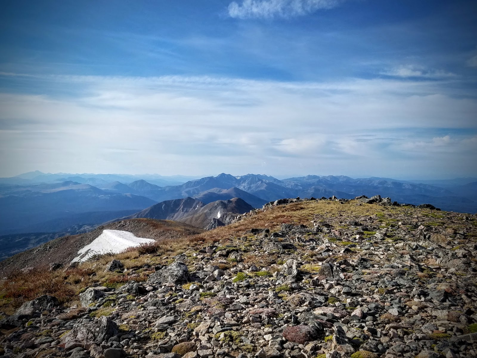
Climbing a 14er efficiently requires a certain level of fitness. The difficulty you'll experience attempting to reach the summit varies tremendously based on your age, physical condition, and other medical factors. What I'd like to accomplish is defining some training methods you can utilize to improve your ability to climb 14ers efficiently. Obviously getting out to the mountains to hike uphill at altitude is the best training, but on the weekdays when you have to work, a quick gym or home workout may be easier to fit into your busy schedule.


1) Weight Loss. The elephant in the room. If you are like most Americans, you could benefit from reducing the amount of body fat your are carrying around. Each extra lb of fat you are carrying diminishes your ability to climb uphill, and puts additional wear on your knees. Just imagine the difference between climbing stairs unemcumbered, or while wearing a 20 lb backpack. If you are unsure of your bodyfat percentage, you should consult your doctor. You can also reference the BMI chart, but keep in mind, this chart is an estimation only and may not be accurate for some individuals.


2) Cardio. This is obvious, but cardio is a huge factor in climbing 14ers. You will be spending 4-10 hours hiking, so the ability to maintain a manageable heart rate while climbing at altitude is important. Being able to recover quickly is also important.

Running outside is great exercise, it's free, and a lot of people can do it.  Ideally you'd want to be able to run 3+ miles at a steady pace without stopping to rest or walk. Running improves cardiovascular and provides a similar light impact workout to hiking.


Running or walking stairs is another good exercise. You could substitute a stairmaster or stair stepper if you have access to that. In addition to improving cardio, this does work on some muscular strength.

Lastly, HIIT workouts have been getting a lot of attention lately because of their big benefits and short time commitment. High Intensity Interval Training involves intervals of intense activity followed by a more moderate activity. Common intervals include 1 minute of high-intensity exercise followed by 1 minute of low-intensity exercise. This cycle repeats 3-10 times. A common interval method involves walking and running on a treadmill.


3) Body weight exercises. These can be very helpful to increase your strength, which becomes more important as you get into steeper climbs like class 2 and class 3.  These can include bodyweight squats, lunges, walking lunges, and box jumps (or box steps). This could also include pull-ups, push-ups, and dips. Planking, mountain climbers, and flutter kicks all work on your abdominals and core, which is good for balance and stability. The best part about bodyweight exercises is that they are free to do because they require minimal or no equipment.


You can also do things like lunges, squats, and pull-ups with a weighted pack on to simulate hiking just a little better.


4) Free weights. While not strictly something you would do for hiking fitness, these exercises are great for core strength, muscle mass, metabolism, and strength. You will not automatically get "bulky" when you lift weights either. Suggested exercises that help with climbing 14ers would include: Deadlifts, squats, lat pull-downs, decline bench press, weighted dips, and anything that would help with legs, core, or grip strength.


I've also become a big fan of Back Squats (weighted squats) for hiking. Back Squats develop nearly every single muscle in your legs, your glutes, and your core. If you go down this route, doing many reps of roughly your bodyweight is a good way to train up for climing mountains. It will also add strength and stability to your knees, and increase your metabolism.


Example workouts:
In general, weighted exercises should come before cardio if doing both activities on the same day. Workouts should be limited to 60 minutes or less, but be at least 10 minutes for HIIT or 30 minutes for steady state cardio.


HIIT running:
Warm-up: 3 sets of walking lunges, 1 minute each.
8 minutes of jogging at an easy pace


HIIT: 60 seconds of running (8-10+ mph), 60 seconds of walking (3.5-4 mph) x (5-10 intervals)
Cool-down: 5 minutes of walking at a moderate pace.


Stairs invervals:
If you have access to a large staircase, you can run up the stairs and then walk down, repeating several times.


Stairmaster:
Warm-up: 3 sets of 40 bodyweight squats
5-8 minutes on the exercise bike, low to moderate effort
20 minutes on the stairmaster, fast enough to get your HR up really high (consult a HR chart if you don't know where you should be)
5-10 minutes of cooldown walking or riding exercise bike

Wednesday, February 22, 2017

Big Adventure 2016- Part 1

Big Adventure 2016 - Part 1
Mt. Zirkel Wilderness- Mt. Zirkel Summit 12,185'
"Zirkel Circle" (modified)

8/21/2016

This trip was a long time in the making. We had wanted to come here the previous year, but things didn't work out and we had to cancel. We finally were able to make the drive up to North central Colorado to make this trip happen.

This was a long day. We were originally going to backpack in, but that didn't work with our schedule. We started off in the dark around 5 AM.

Looks nice, but what is that thing?

Yep, it's a bear
So about 3 miles into our hike, we ran across this bear. I instantly became super cautious and aware of my surroundings. I didn't want to run into some bear cubs and an angry mama bear.

It was quite lush and green. For Colorado, anyway

Target acquired (it's distant right)

We have come a long way through a marsh and up a heavily treed slope, when we reached this open area.

Big Agnes is over there somewhere


Up on the ridge now, but the journey is far from over. We came up to the right, but we'd end up going down to the left on our way down. You can see why it took so long to return.

Slope not exaggerated

This section wasn't exactly tricky, but we were getting tired by this point
We reached the saddle

Bighorn sheep! (crappy phone zoom)

The final stretch. Not that spicy.

Looking over to Big Agnes (West)
Looking North toward Wyoming

Scott and Kerry

Steep cliffs on the west face

Late in the season, but still some wildflowers

At this point we made a decision to hike the loop instead of returning the way we came. We justified that even though it would add 2 miles to our journey, it would be easier going, and thus, faster.

Selfie time!

Heading downhill slowly


Let's be real- the return hike felt really long and tiring. And it turns out it was 10 miles to go back that way! We ended up thirsty, hot, and very tired. Reaching the car at the end felt amazing. I quickly drank a bunch of cold water from the jug and we swapped our hiking boots for shoes. Then it was on to Steamboat Springs for beer at Storm Peak Brewing. I think that was our favorite brewery in steamboat. Here's what our 16 mile hike looks like in Google Earth:

GPS says: 15.8 miles, 4,621' of elevation gain/loss.  7 hrs 29 min moving time

A more Isometric view

We did a modified route. We ended up bushwhacking from the meadow up to the Zirkel ridge, which saved several miles off of the out-and-back from red dirt pass.

We really enjoyed cooling off at Storm Peak Brewing Co in Steamboat Springs

That was a pretty long hike but we soon relaxed as we drove off to the next hiking destination, State Forest State park. See part II...
PART 2 IS HERE