Greenhorn Mountain 12,352'
17.0 miles roundtrip (8.5 one way), ~4,400' of elevation gain.
Greenhorn Mountain is the highpoint of Pueblo county, and the highest peak in the Wet Mountains. Despite being only 12k feet tall, it's the highest mountain in any direction for 40 miles. It lies inside the Greenhorn Mountain Wilderness Area. On a clear day, you have great views of the Sangre De Cristo mountains, the Spanish Peaks, Pikes Peak, and plenty more.
Unfortunately for us, wildfire smoke was pretty prevalent and kind of spoiled the views a little. But it was still a nice hike in a remote area.
This is a long hike. The trail meanders slowly up and around various spurs on the flanks of this mountain before dumping you out of a relatively flat meadow that leads to a small but steep summit cone. Kind of weird, not like most summit hikes we've done. Up until the very end, the trail is NEVER what I would consider steep.
And speaking of trails, the Bartlett trail is
no longer maintained by the Forest service. What this means is that there are at least 10 or 20 logs crossing the trail that you have to climb, crawl, step, or jump over. You also occasionally get whacked on both sides of the trail by tree branches. You'll notice in some of the trail pictures, the trail isn't very visible. It wasn't too hard to follow as the trailbed is still intact.
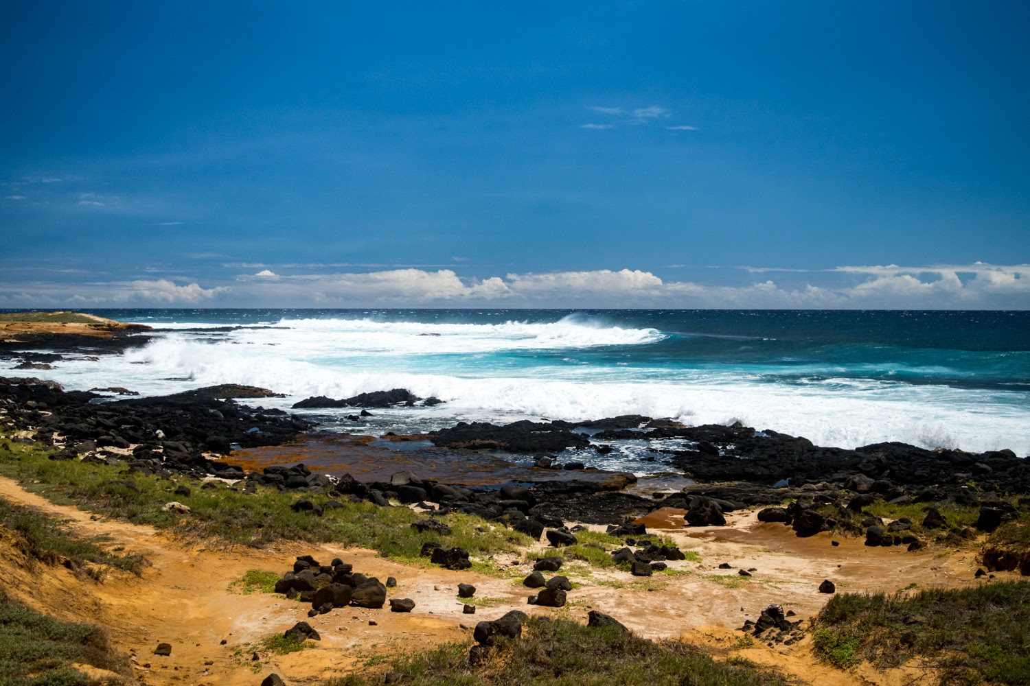
Another thing to note: There is no camping at the trailhead according to the sign posted.
 |
| This is what the route looks like. It's long! |
 |
| There is a HUGE discrepency between the USGS map and the actual trail - see above |
What I am trying to show you on this map is that the actual trail doesn't really follow the USGS map very well. I believe my GPS tracks are the appropriate trail - not sure what's going on here.
One final note. I recommend you START EARLY. We hit the trail just before 515 AM. It's not hard to follow the trail in the dark, and it's quite long. The first 2 miles and last 1 mile of the trail is not very shaded either.
 |
| First picture of the hike... finally getting light out |
 |
| That's the trail up ahead... |
 |
| This was taken right at the junction |
 |
| Wide open views. Notice the Spanish Peaks in the background |
One of the things we discussed about this hike- you really need the right mentality. You might get aggravated at how long it is. Don't worry about when it'll be over. Just try to enjoy it for what it is, and try to maintain a sense of perspective.
 |
| Looking down the rugged valley |
 |
| You can see the trail again in the middle, not real well defined |
 |
| Here's the trail, back in the shadows |
 |
| Looking South / Southwest |
 |
| Back on the East side, coming around the bend... |
 |
| Finally, the summit comes into view! But it's deceptively far away. |
 |
| You can see the trail on the right side, winding through the deadfall then entering the trees ahead |
 |
| Through the trees, but more deadfall ahead |
 |
| Finally in the clear, and getting closer to the summit |
 |
| It gets progressively steeper the closer you get to the summit. We curved around right of center to the summit |
 |
| 180 degree summit panorama, South to North |
 |
| Looking West from the summit. Would be a nice view with less smoke |
 |
| Looking North. You can see the (unranked) North summit distant left |
 |
| Zoom in on Blanca Peak (center), Ellingwood Point, Mt. Lindsey. I think Little Bear is hidden |
 |
| Kind of hard to see, but the Crestone Group is over here. Not a great angle to observe them from. |
 |
| Looking East at the valley floor some 6,000' down |
Yeah, it was pretty smokey. You couldn't see nearly as far as you normally would be able to. It's a shame, but what can you do? It was otherwise a very nice day with hardly a cloud in the sky.
 |
| This gives you an idea of just how massive the Spanish Peaks are. |
 |
| Returning from whence we came. I was a bit worried we wouldn't be able to find our way back |
 |
| Looking down the canyon |
 |
| Typical trail mid-descent |
 |
| Aspen tunnel |
We really tried to hustle on this hike. It took us 3 hours and 42 minutes on the ascent. On the way down, we did some running. How much, it's hard to say. Maybe 3-4 miles worth? The descent took 2 hours and 24 minutes. Car to car was 6.5 hours. Not a speed record by any means.
As expected, we saw absolutely no one on this hike. Not at any point. This is a seldom traveled area, fairly far from Denver. It's also not a 14er, a Centennial Peak, or even a 13er. But it's a nice hike and well worth the effort.
As for the route, I do think the Bartlett trail is a nice option for this peak. The "driving" option feels like cheating to me, coming so close to the summit. The northern trail is shorter but steeper, and it requires you to do a lot of bushwhacking to gain the summit. You also have to climb the north summit, hike to the actual summit, and back again. Seems like a pain to me.
Hmm. We did our epic adventure in 3 parts this year. Will there be a part 4? Stay tuned!


