EA2014 - Day 2
Golden Horn, Vermillion Peak, US Grant Peak.
 |
| First Reflections |
 |
| The reward of an early rising |
 |
| Old mining camp ruins from a prior era |
 |
| Vermillion center, Golden Horn right |
 |
| Vermillion peak at right |
 |
| Vermillion Peak (L) and Golden Horn (R) |
 |
| We are heading for the saddle in the middle. |
 |
| The "crux" of Golden horn wasn't much of one. |
 |
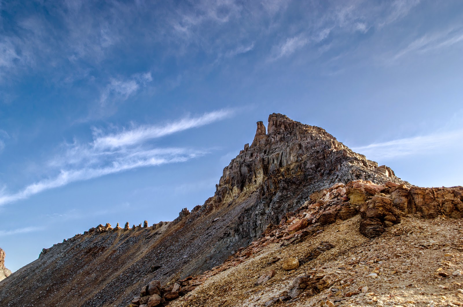
| Looking at the face of Vermillion Peak |
 |
| Heading up Golden Horn. It was easier than it looks. |
 |
| Pretty easy climbing to the summit. |
 |
| (Camera a little foggy) Bypassing a spire on the ridge |
 |
| US Grant Peak center-right |
 |
| Looking over at Vermillion |
 |
| The Summit of Golden Horn |
 |
| Looking west from GH |
 |
| Show me your horns! |
 |
| A surprisingly pleasant trail up the back side of Vermillion |
 |
| Now we just have to get on top of that |
 |
| Ice Lake is distant left |
 |
| The Mt. Wilson massif, featuring 2 1/2 14ers |
 |
| It's goofy but I had to |
 |
| Lake Hope from the summit of Vermillion |
 |
| coming down Vermillion- not sure why the pic turned out this way |
 |
| A hundred years ago someone was relying on these rocks for shelter from wind, ice and snow |
 |
| Scott and Golden Horn |
 |
| Fuller Lake |
 |
| Ulysses S. Grant Peak (US Grant) center |
 |
| Alpine marsh above Ice Lake |
 |
| So photogenic though |
We got back at our tent around 1030 AM. We decided that the weather looked OK and we were going to head for the Island Lake basin to bag more peaks. I ate some mountain house cajun beans and rice and then we got our water and packs ready for the next adventure. We left about 12:30 PM.
 |
| This is Island Lake |
The climb to the saddle above Island lake was steep, and the top portion was quite unstable.
 |
| You can see the saddle center-right here. You climb steeply up to this saddle and then trun and climb the ridge. |
 |
| Clouds are gathering |
So I guess at this point I need to mention what happened. Scott and I had a disagreement about what to do here. I wanted to climb US Grant Peak, and he did not. I think between the possibly sketchy weather and the unknown route, he was not up for it. But I was. We had an argument, I went left, he went right. In hindsight what I did was pretty stupid. The route up this ridge is not that great: It's loose, pretty much unmarked and untraveled; and the crux was really crappy. Let me tell you about this crux; imagine if you will a narrow ledge, above this is outward sloping rock with no good handholds. Below this is a steep drop-off to the sloped side of the mountain. Covering this narrow ledge are pizza sized oddly shaped UNSTABLE rocks and dirt. It was the stuff of nightmares. I (and my family) am lucky I survived. Somehow taking pics of everything was not my top priority so I only have a few photos of the way up and down US Grant. I did reach the summit, but it was probably a fool's errand for me.
 |
| The initial route is not exactly encouraging |
 |
| I just love the colors. Smooth and grassy on one side, loose and rocky on the other. |
 |
| This is the crux. It's the worst thing I've ever done, although a fall might have been survivable |
 |
| And we are skipping to the summit of US Grant Peak |
 |
| Looking back to Ice Lake basin, Ice Lake is hidden behind the ridge at the bottom. |
 |
| Since I was solo, this is a summit selfie |
 |
| Island Lake from above |
 |
| Mt. Wilson, Gladstone Peak, and Wilson Peak (L to R) |
 |
| A loose-looking sub-peak NW of US Grant |
 |
| Relaxing, Colorado style at Island Lake |
We got back to our tent and packed up as quickly as we could, drinking a beer as we hastily stuffed our gear. By this point we were quite tired, and we knew there was more stuff to come. We wanted to get down because we were so cold and tired the night before, and thought retreating to a lower altitude would be nice.
 |
| Relaxing, Colorado-Style at Ice Lake. Those puppies are barking. |
 |
| Massive rocks and little waterfalls |
Not too many pictures on the way down. We were tired and had been up since 4:30 AM. We hustled back to the car, drove to Montrose, ate some Qdoba, and then drove 6 hours home, getting back right at midnight. This was one of the most "action packed" days I've ever done! Scaling 3 13ers hiking and driving back all the way from the middle of the San Juans.


