Big Adventure 2016 - Part 1
Mt. Zirkel Wilderness- Mt. Zirkel Summit 12,185'
"Zirkel Circle" (modified)
8/21/2016
This trip was a long time in the making. We had wanted to come here the previous year, but things didn't work out and we had to cancel. We finally were able to make the drive up to North central Colorado to make this trip happen.
This was a long day. We were originally going to backpack in, but that didn't work with our schedule. We started off in the dark around 5 AM.
 |
| Looks nice, but what is that thing? |
 |
| Yep, it's a bear |
|
So about 3 miles into our hike, we ran across this bear. I instantly became super cautious and aware of my surroundings. I didn't want to run into some bear cubs and an angry mama bear.
 |
| It was quite lush and green. For Colorado, anyway |
 |
| Target acquired (it's distant right) |
 |
| We have come a long way through a marsh and up a heavily treed slope, when we reached this open area. |
 |
| Big Agnes is over there somewhere |
 |
| Up on the ridge now, but the journey is far from over. We came up to the right, but we'd end up going down to the left on our way down. You can see why it took so long to return. |
 |
| Slope not exaggerated |
 |
| This section wasn't exactly tricky, but we were getting tired by this point |
 |
| We reached the saddle |
 |
| Bighorn sheep! (crappy phone zoom) |
 |
| The final stretch. Not that spicy. |
 |
| Looking over to Big Agnes (West) |
 |
| Looking North toward Wyoming |
 |
| Scott and Kerry |
 |
| Steep cliffs on the west face |
 |
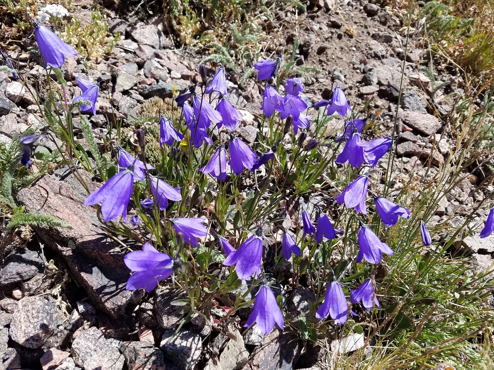
| Late in the season, but still some wildflowers |
At this point we made a decision to hike the loop instead of returning the way we came. We justified that even though it would add 2 miles to our journey, it would be easier going, and thus, faster.
 |
| Selfie time! |
 |
| Heading downhill slowly |
Let's be real- the return hike felt really long and tiring. And it turns out it was 10 miles to go back that way! We ended up thirsty, hot, and very tired. Reaching the car at the end felt amazing. I quickly drank a bunch of cold water from the jug and we swapped our hiking boots for shoes. Then it was on to Steamboat Springs for beer at Storm Peak Brewing. I think that was our favorite brewery in steamboat. Here's what our 16 mile hike looks like in Google Earth:
 |
| GPS says: 15.8 miles, 4,621' of elevation gain/loss. 7 hrs 29 min moving time |
 |
| A more Isometric view |
We did a modified route. We ended up bushwhacking from the meadow up to the Zirkel ridge, which saved several miles off of the out-and-back from red dirt pass.
 |
| We really enjoyed cooling off at Storm Peak Brewing Co in Steamboat Springs |
That was a pretty long hike but we soon relaxed as we drove off to the next hiking destination, State Forest State park. See part II...
PART 2 IS HERE


No comments:
Post a Comment